
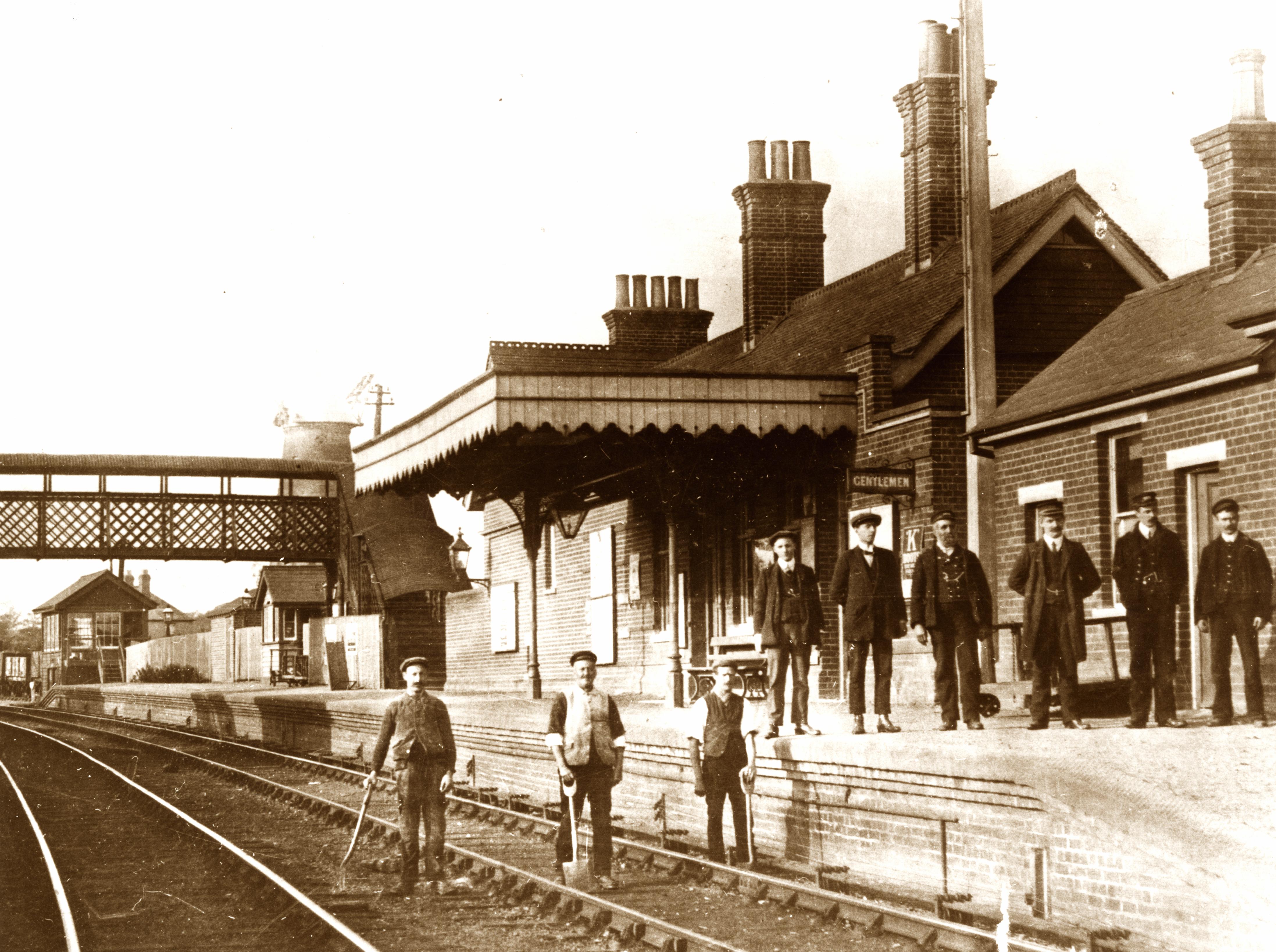
 and station staff stand on the platform, while the permanent way men stay on their track.")
The Ware, Hadham & Buntingford Railway was known as the Bunt. Unlike Hertfordshire’s other branch lines, it did not connect main lines, or provide east-west routes. It ran north from St Margarets, the first available point on the Great Eastern from Liverpool Street, and satisfied local demand in the 1850s to connect the small town of Buntingford with the outside world. The line was relatively long (14 miles) with steep gradients and many bridges, but the Great Eastern Company provided investment and ran the line.
The Bunt was unusual among Hertfordshire’s branch lines in having good passenger demand, and services continued until the Beeching axe fell in 1964. A tipping point for many commuters was in 1959 when the line was dieselised and the daily through train to Liverpool Street was withdrawn.
Goods traffic was relatively slight, and mainly agricultural, but in its last years the railway was used as a test bed for light locomotives made by Wickhams at Wareside.
The line is fondly remembered as a quintessential rural branch line. It was popular with railway enthusiasts even after dieselisation, since they might be able to sit behind the driver. As a result several amateur films of the line survive.
After closure, most of the line was short-sightedly destroyed through landfill and ploughing. Today little of it can be walked, except for a section of the Hertfordshire Way near St Margarets. However the station buildings survive at Braughing and Buntingford.
Discover more
Audio memories
Below you can listen to a selection of clips taken from interviews with people who worked on or lived near the line.


Add your comment about this page
Much of the trackbed or next to it is accessible south of Braughing to south of Standon including the deep cutting and embankment up towards Brands Farm. South of Much Hadham it can be followed along the Ash Valley to Wilford Station and south of Wilford most of the way to St Margaret’s with just a slight deviation south of Murdock. Still plenty of bits and pieces including permanent staff shelters and bridge abutments to be found even 55 years after closure