Maps and plans of Hitchin Priory
By Daphne Knott


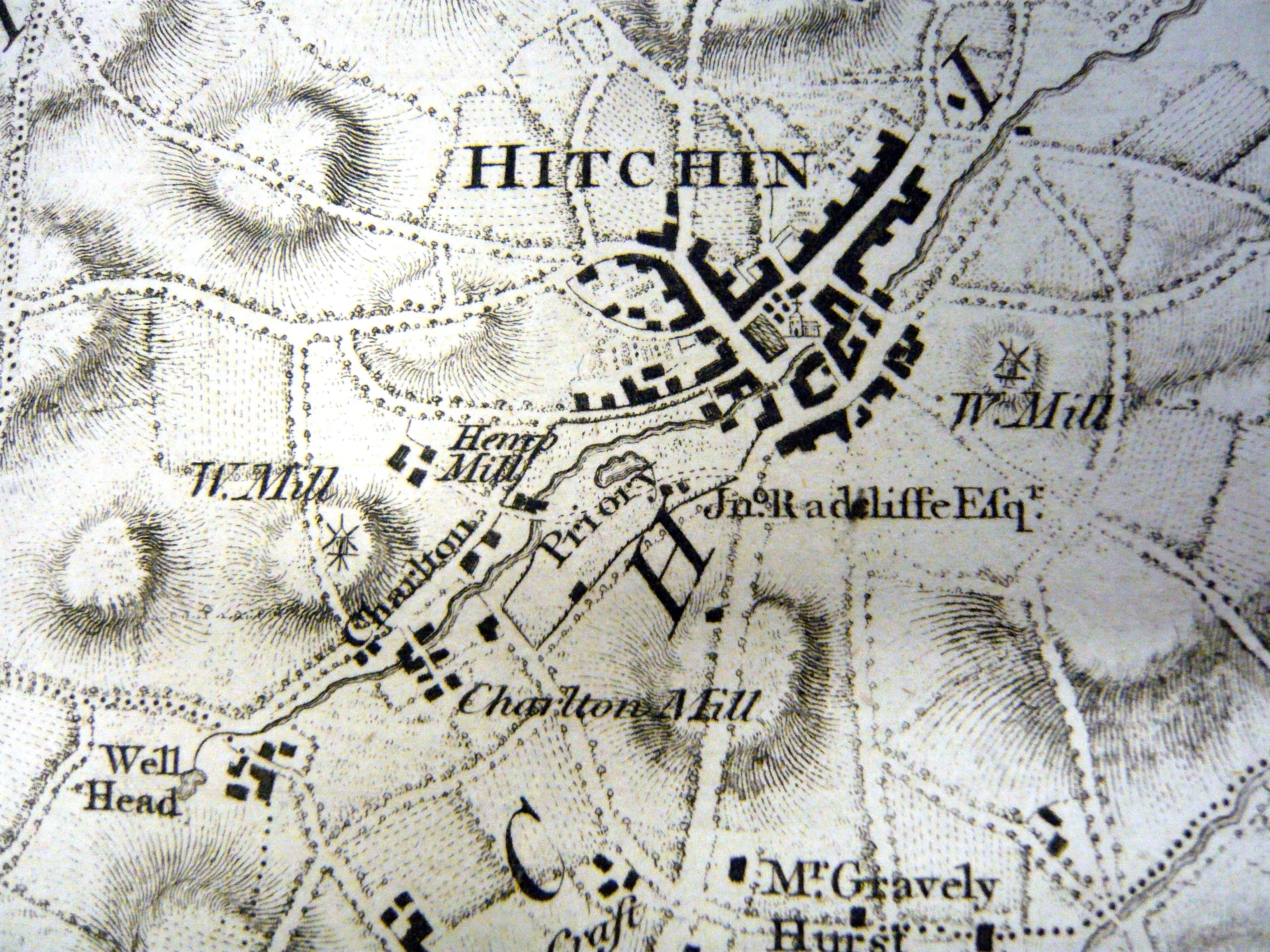
A plan of Hitchin in 1700 showing Hitchin Priory middle left. This appears in Chauncy's History of Hertfordshire.


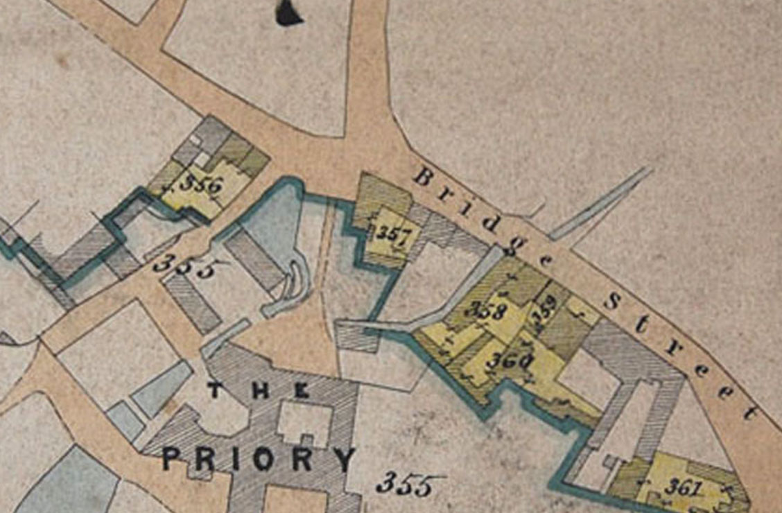
Published maps of Hitchin from as early as 1700 show the importance of the priory and the Radcliffe family. Although it is on the edge of the town, it is always clearly marked and sometimes thee Radcliffe name is also noted.
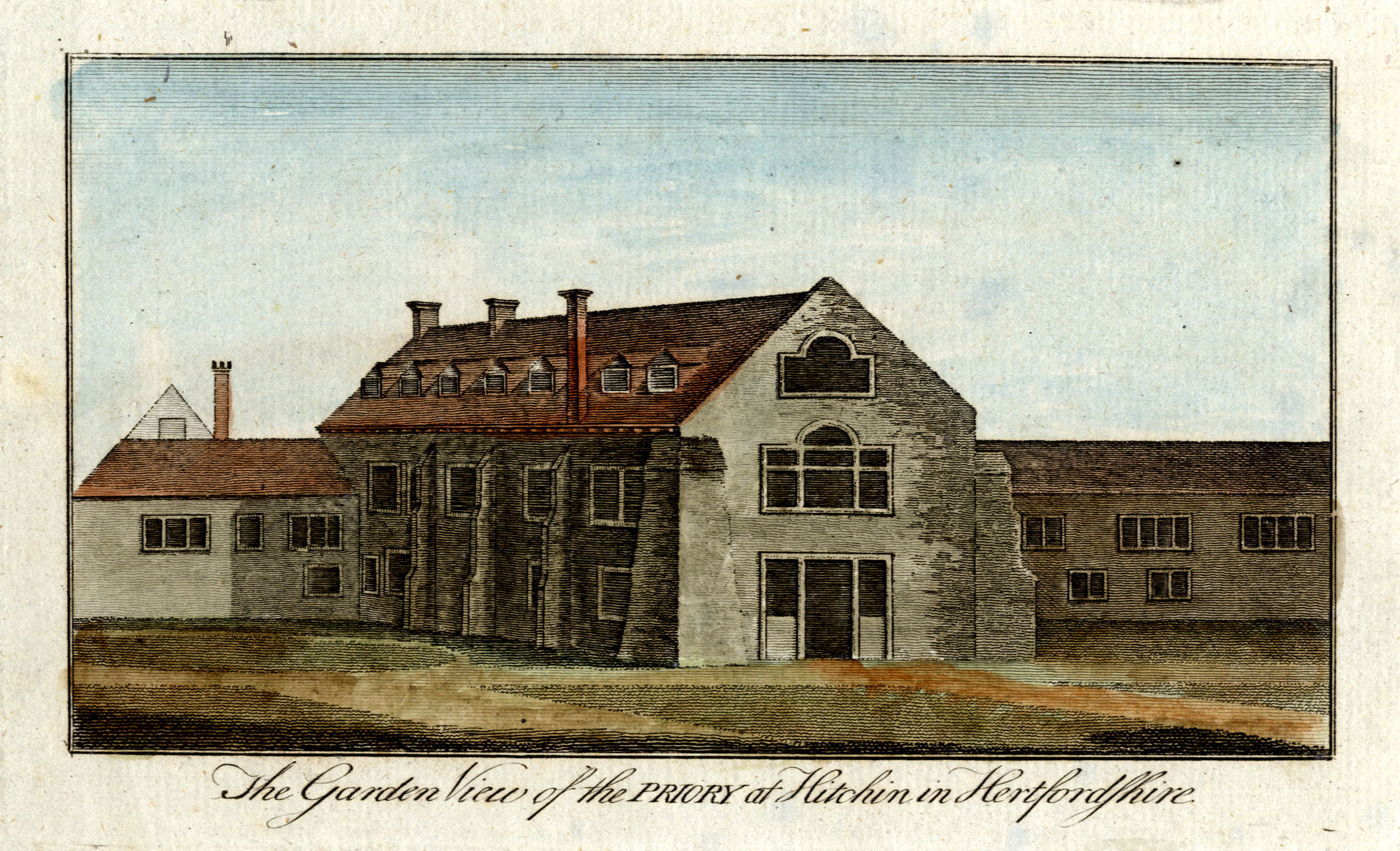
There are only a few pictures of the priory in the collection, but they give an overview of the extent to which John Radcliffe’s new buildings enlarged the old Priory and substantially changed the exterior.
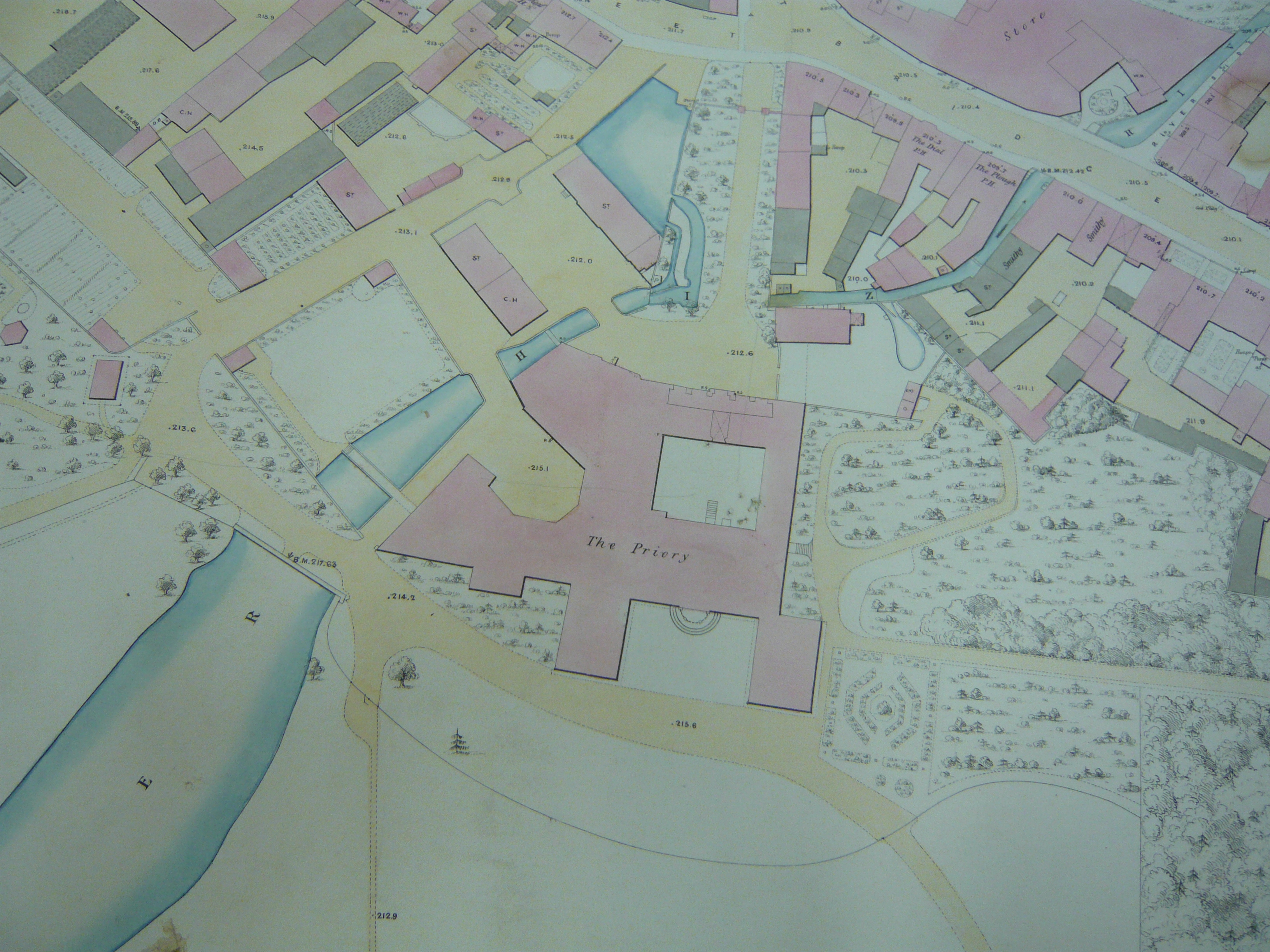
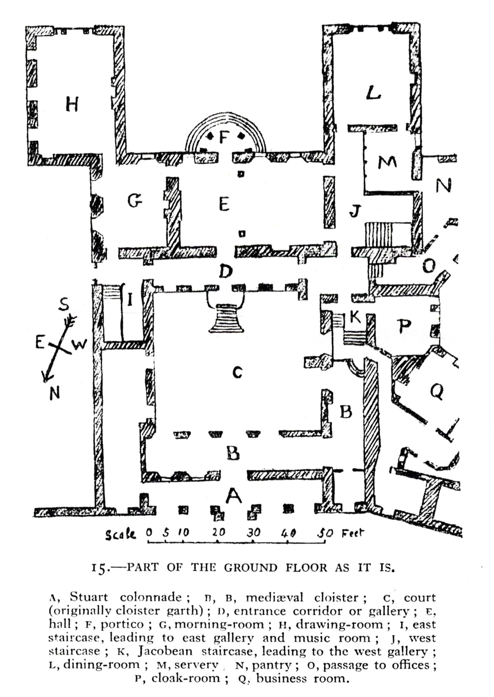
Some internal plans also survive which give an idea of how the rooms were arranged.
This page was added on 18/10/2014.


Add your comment about this page
Great to find the internal map of the ground floor of the priory buildings. I have recently been exploring the history of the priory since in the late 1950s I was nanny to Sir Ralf Delme-Radcliffs young grandson and stayed in the nursery on holidays with the family.