

")
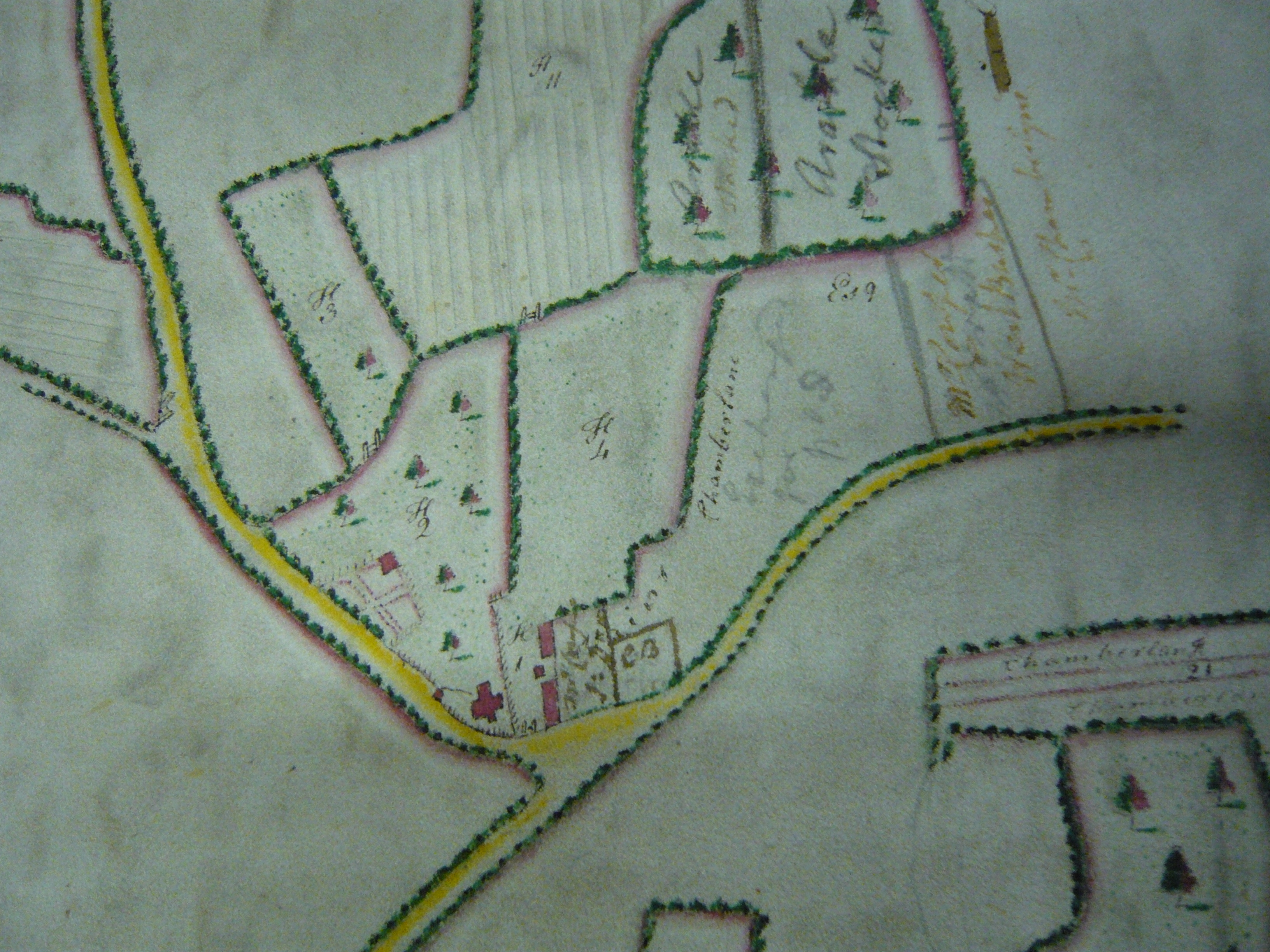
This is a beautifully drawn map, at a scale of 16.5 inches to the mile. It is delicately coloured with houses and trees drawn in elevation. The name is given for the common and roads to Ware and Hoddesdon are marked. The tables of reference at the side of the map are for two separate properties outlined in a different colour.
Map of the Manor of St Margarets
with Haily Farm, 1791
By Sue Flood
This page was added on 18/09/2009.


Add your comment about this page