Panshanger Archive
estate and personal papers of the Cowper family
By Sue Flood


The Panshanger Archive is the largest individual collection of documents cared for by Hertfordshire Archives. It contains the estate and personal papers of the Cowper family, later Earls Cowper, and their descendants the Grenfells, dating from 1309 to 1955 [Ref: DE/P]
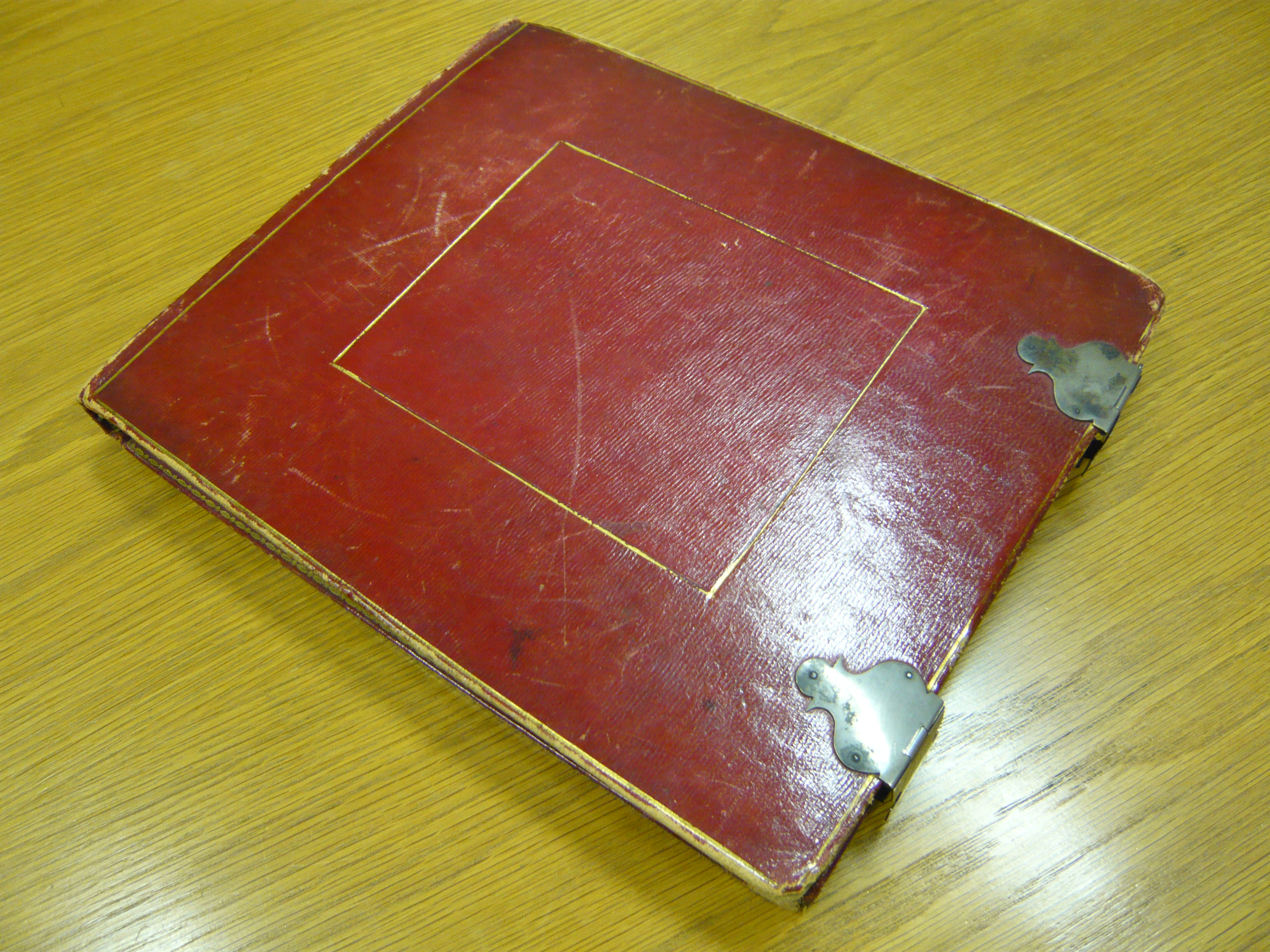
This beautiful volume measuring 9 inches by 11 inches (23cm x 28cm) is bound in red morocco leather with silver clasps and contains a survey of the Hertfordshire Estate belonging to Peter Leopold Louis Francis Cowper, 5th Earl Cowper, undertaken in 1810. It is not clear why a survey of this depth was undertaken at this time as the earl had inherited the estate in 1799 on the death of his brother, the 4th Earl, and he continued to hold it until his own death in 1837. However, a complete survey of the estate cottages was also undertaken in 1810 [Ref: DE/P/E245] with the purpose of discovering what repairs, if any, were needed, so it could have been drawn up because of a general intention to audit all the properties owned by the Earl at this time. The binding is a little scratched and worn but inside there is evidence that it continued to be used in the Earl’s estate office until much later in the nineteenth century as notes have been added and alterations made to the text.
The Hertfordshire Estate of Earl Cowper in 1810 consisted of just over 6,000 acres centred on the parishes of Hertingfordbury, Digswell, Tewin and Hertford, St Andrew. Properties in the survey include the larger mansions of Tewin Water, Digswell Park, and Tewin Bury and cottages and buildings of all kinds in Hertford, and the villages of Digswell, Hertingfordbury and Tewin. In addition other areas include, Attimore Hall, Stanborough Farm, Handside and Sherrards Park Wood now all part of Welwyn Garden City developed from 1919 onwards. The estate was so extensive that anyone living in these areas today will find much of interest in this volume.
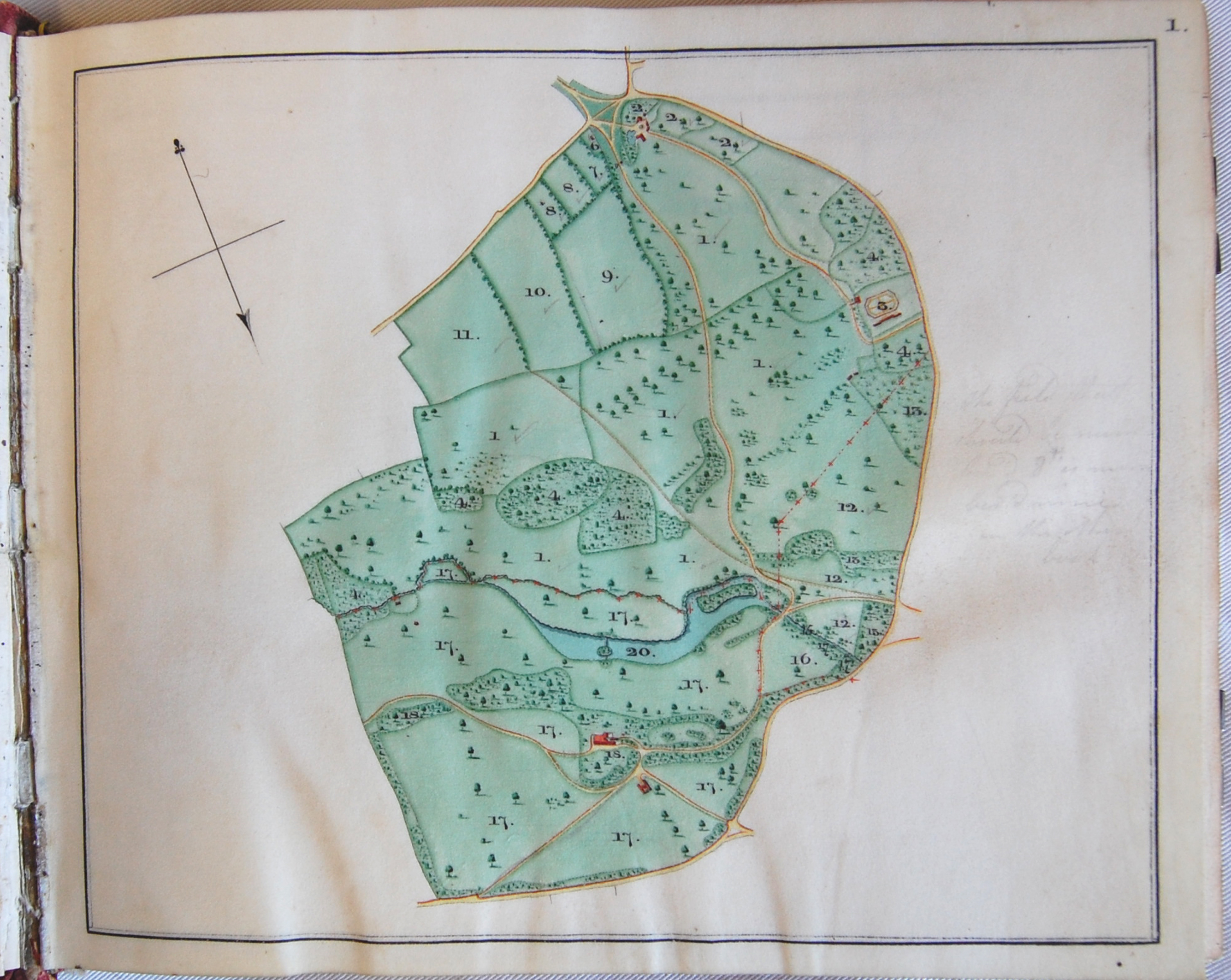
What makes this volume special is the exquisite series of coloured maps illustrating each individual property holding of the estate. There are 35 maps in all and each one is carefully drawn and coloured to show land use and ownership. Each plot is numbered and the maps are accompanied by a key giving the names of fields and woodlands with their acreages and names of tenants. We don’t know who drew the plans but the standard of draughtsmanship is superb.


Add your comment about this page